
Project Description
Ocotillo Road
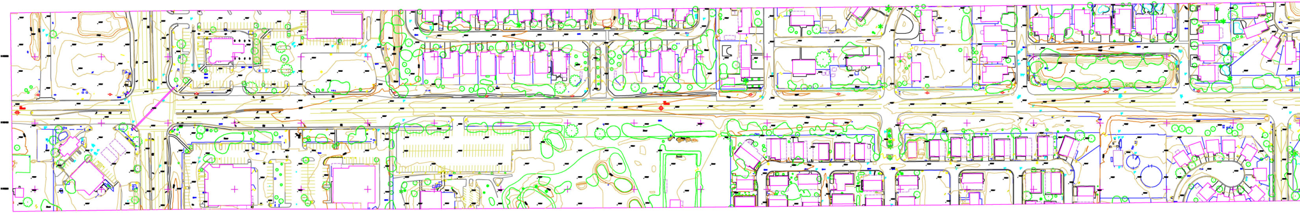
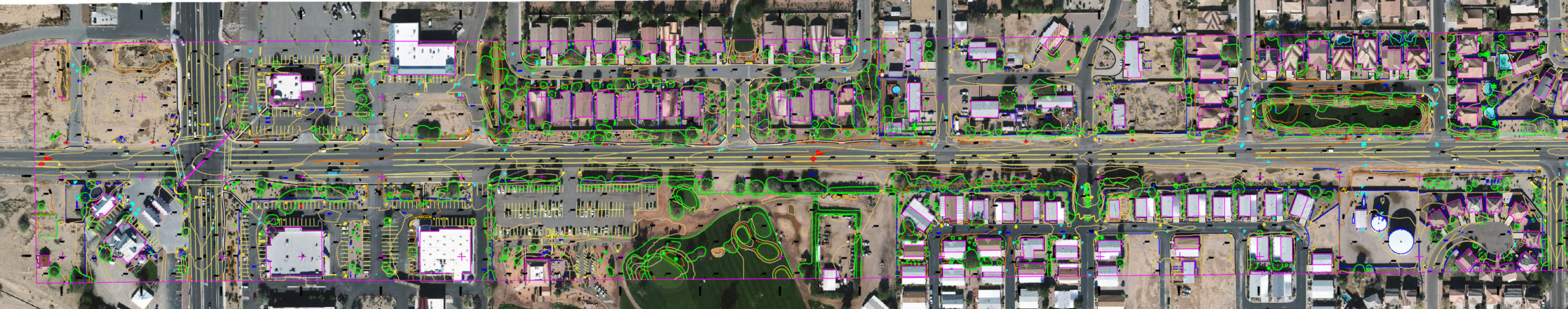
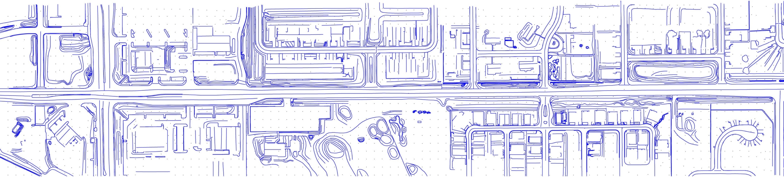
For this corridor mapping project in Queen Creek, Arizona ATM provided 40 scale mapping, one foot contour information with full planimetric detail and color orthophotography. The aerial photography consisted of 1 flight line with 15 exposures utilizing 4cm digital imagery. The design scale mapping was used for regional transportation planning purposes.
Queen Creek, AZ
2016
